
Turn the Tide. For Just Pennies Per Vote.
Know exactly which polls won or lost the election with poll-level geographic intelligence.
Poll-Level Intelligence. Built for Campaigns.
Every vote is cast in a specific poll. GeoIntel shows you exactly where you won, where you lost, and where the next election will be decided.
The GeoIntel platform maps every polling division in an electoral district, scored and ranked so your team can see exactly where votes were won, where they were lost, and where the next election will be decided.
In Milton East-Halton Hills South in 2025, the margin was 21 votes. GeoIntel shows you precisely which polls made the difference — and what a focused effort in the right places could have changed.
What the platform shows you:
- Poll boundaries coloured by winner and margin
- E-Day, advance, and turnout breakdowns by polling division
- Victory IndexTM - a ranked score for every poll factoring in votes, margin, poll size, and turnout
- Adjustable weighting so your team can model different strategic priorities
- Exportable ranked poll reports for further analysis
- Preferred access to customized mapping services - poll maps, demographic maps, and more
The platform covers all 343 federal ridings using 2025 general election results. Past elections, by-elections, and provincial support are on the roadmap.
For regional or national access, click here to reach out and make arrangements.
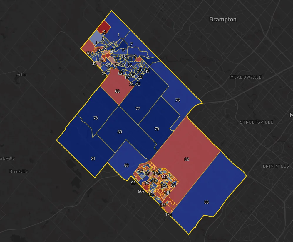
Why Campaign Geo-Intelligence Matters
Campaigns are planned on maps and won on the ground.
Doors are knocked, volunteers deployed, and resources stretched across real neighbourhoods with real boundaries. Until data is translated into geography, it's difficult to see where effort will actually make a difference.
What geo-intelligence adds to a campaign:
- Converts raw results into clear, actionable maps
- Reveals geographic patterns hidden in tables and lists
- Identifies priority polling divisions before resources are committed
- Guides smarter decisions about where to deploy people and money
- Aligns data analysis with real on-the-ground operations
The Victory IndexTM ranks every polling division within a riding, factoring in party votes, margin, poll size, and turnout. It distinguishes polls that are simply large from those most likely to influence the outcome - giving campaign managers a clear, ranked priority list to inform canvassing, literature drops, and resource allocation from the first week of the campaign through to E-Day.
On GOTV weekend, every hour counts. Knowing which polls delivered strong turnout in the past - and which underperformed relative to their potential - means your GOTV effort hits the right doors at the right time, instead of spreading thin across the whole riding.
When campaigns can see the landscape clearly, they focus earlier, move with discipline, and avoid leaving votes on the table.
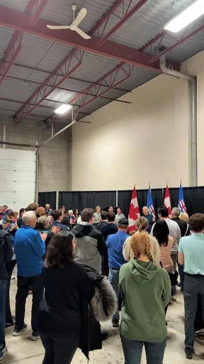
Experience & Perspective
The geo-intelligence work behind GeoIntel is shaped by long-term, hands-on experience inside campaigns and political organizations - not theory or trend-following.
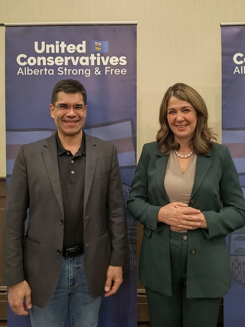
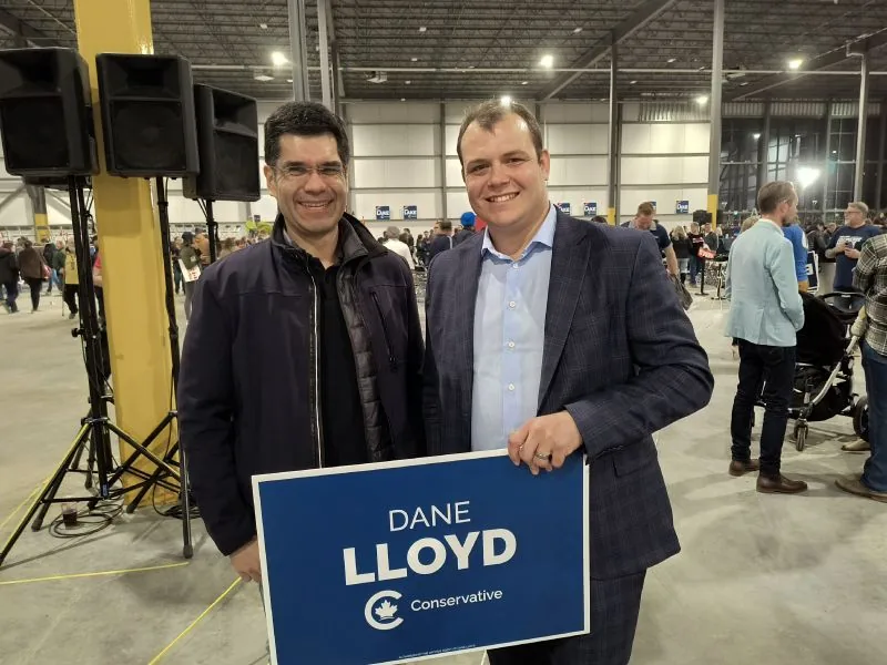
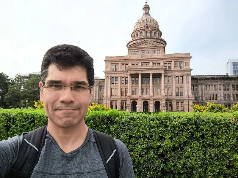
That involvement began early. Serving as Canada's youngest mayor at just 19 was the start of years of work with conservative campaigns at the provincial and federal levels - including roles as a campaign manager, constituency president, and board member.
These are positions that demand discretion, judgment, and a clear understanding of how campaigns function between elections - not just during writ periods.
A professional background in surveying, mapping, and infrastructure adds a layer most political analysts don't have. Understanding how boundaries, communities, and geography actually fit together on the ground directly informs how data is interpreted and where priorities are identified.
Extensive travel across Canada - nearly every province, most provincial legislatures, and Parliament in Ottawa - reinforces the importance of understanding local realities before drawing conclusions from data.
The result is a practical, grounded approach: step back, see the full landscape, and help your campaign focus where it will matter most.
FAQ
Who is this for?
Conservative campaigns and organizations that value focus, discipline, and clear prioritization. The platform and consulting work are best suited to teams that want to make deliberate decisions about where to invest time and resources - at the federal, provincial, or municipal level.
When is the right time to engage?
Earlier is always better. Geographic clarity is most valuable during planning and early execution, when priorities can still be shaped. Last-minute involvement is possible in limited cases, but it significantly reduces what can be achieved.
What if we only need limited guidance?
That's a legitimate starting point. Some engagements begin with a single focused consultation and nothing more. Others grow into ongoing support, custom mapping work, or a tailored interactive mapping solution built around your specific jurisdiction or use case. The right scope becomes clear in the first conversation.
Can you build this for my province or municipality?
Provincial support is actively on the roadmap. For municipalities, it depends on what data is publicly available and how granular the results reporting is - but in most cases, yes. Beyond elections, we also build customized interactive mapping solutions for organizations that need to visualize geographic data in a clear, accessible way. Reach out with your jurisdiction or use case and we'll tell you what's workable.
How do I get access to the platform?
The platform is currently in early access. Book a 20-minute introductory call or send a message using the links below. That conversation is the starting point for access, and in many cases it's enough to get your team oriented and moving.
Let's Talk.
Whether you're a campaign team looking for geographic clarity, an organization with a mapping challenge, or someone who isn't sure yet what you need - the right place to start is a conversation.
Engagements range from a single focused consultation to full platform access, custom interactive mapping solutions, and ongoing strategic support. Availability is intentionally limited to keep the work focused and responsive.
Book a free 20-minute introductory call below. In many cases, that conversation alone is enough to identify priorities, clarify options, and determine next steps.
Prefer to send a message?